File:M40 Motorway at junction 1a - Geograph - 1792777.jpg
Jump to navigation
Jump to search

No higher resolution available.
M40_Motorway_at_junction_1a_-_Geograph_-_1792777.jpg (640 × 480 pixels, file size: 73 KB, MIME type: image/jpeg)
| |||||||||||||||||||||||||
|
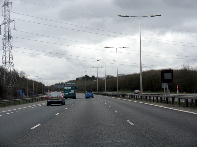
Galleries | M40 | Denham Interchange | Variable Message Sign | ||
File history
Click on a date/time to view the file as it appeared at that time.
| Date/Time | Thumbnail | Dimensions | User | Comment | |
|---|---|---|---|---|---|
| current | 00:05, 4 March 2011 | | 640 × 480 (73 KB) | Si404 (talk | contribs) | '''M40 Motorway at junction 1a'''<br/>Heading east into London. The sliproad from the M25 (anti-clockwise) is visible in a cutting on the left. |
File usage
The following page uses this file: