No higher resolution available.
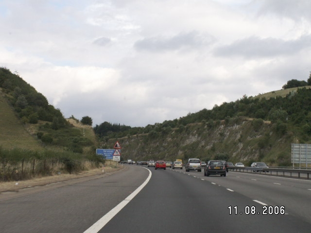
Description: Heading southbound through the Stokenchurch cutting. The weather on the other side can be something completely different. Location: 51.6634522, -0.9479570 Road: M40 Date: 11 08 2006 Photographer: Johnny Source: Own work
File history
Click on a date/time to view the file as it appeared at that time.
Date/Time Thumbnail Dimensions User Comment current 20:30, 17 February 2010 640 × 480 (153 KB) Johnny (talk | contribs ) {{Information |description = Heading southbound through the Stokenchurch cutting. The weather on the other side can be something completely different. |day = 11 |month = 08 |year = 2006 |photographer = Johnny |sour
File usage
The following page uses this file:
This file contains additional information, probably added from the digital camera or scanner used to create or digitise it.
If the file has been modified from its original state, some details may not fully reflect the modified file.
