File:MVC-660F.JPG
Jump to navigation
Jump to search

No higher resolution available.
MVC-660F.JPG (640 × 480 pixels, file size: 44 KB, MIME type: image/jpeg)
File history
Click on a date/time to view the file as it appeared at that time.
| Date/Time | Thumbnail | Dimensions | User | Comment | |
|---|---|---|---|---|---|
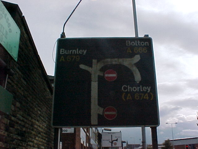
| current | 18:16, 17 July 2014 | | 640 × 480 (44 KB) | Bryn666 (talk | contribs) | A map sign from the 1970s, now removed. |