File:Maidstone Road Proposals late 60s.png
Jump to navigation
Jump to search

Size of this preview: 500 × 600 pixels. Other resolution: 1,000 × 1,200 pixels.
Original file (1,000 × 1,200 pixels, file size: 312 KB, MIME type: image/png)
File history
Click on a date/time to view the file as it appeared at that time.
| Date/Time | Thumbnail | Dimensions | User | Comment | |
|---|---|---|---|---|---|
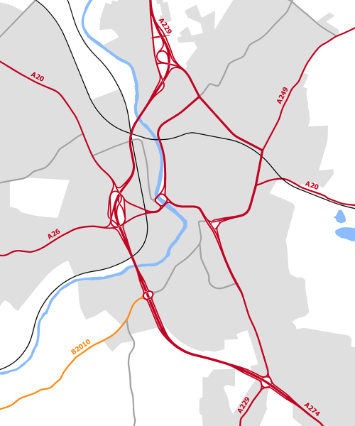
| current | 23:39, 30 October 2016 | | 1,000 × 1,200 (312 KB) | Truvelo (talk | contribs) | Plans for a Western Relief Road and Inner Ring Road for Maidstone from the late 60s. |