File:Manchester road proposals late 1960s.jpg
Jump to navigation
Jump to search

Size of this preview: 688 × 600 pixels. Other resolution: 1,652 × 1,440 pixels.
Original file (1,652 × 1,440 pixels, file size: 819 KB, MIME type: image/jpeg)
| |||||||||||||||||||||||||
|
Galleries | A57(M) | A6010 | Manchester Inner Ring Road | Manchester | Salford | Manchester City Centre Road | M67 | M60 (Knutsford - Manchester) | Ashton Motorway | ||
File history
Click on a date/time to view the file as it appeared at that time.
| Date/Time | Thumbnail | Dimensions | User | Comment | |
|---|---|---|---|---|---|
| current | 21:42, 30 December 2017 | | 1,652 × 1,440 (819 KB) | Truvelo (talk | contribs) | Junction layout corrected. A34 is above Inner Ring Road roundabout. |
| 14:01, 29 August 2016 |  | 1,652 × 1,440 (808 KB) | Truvelo (talk | contribs) | Added A6 Longsight to Levenshulme and A34 Rusholme. Corrected City Centre Rd junctions. | |
| 13:51, 8 August 2016 |  | 1,651 × 1,438 (648 KB) | Truvelo (talk | contribs) | M60, M601, M602, Princess Road and Cambridge Street Extension added | |
| 20:05, 20 July 2016 |  | 1,468 × 1,267 (647 KB) | Truvelo (talk | contribs) | Failsworth Bypass added | |
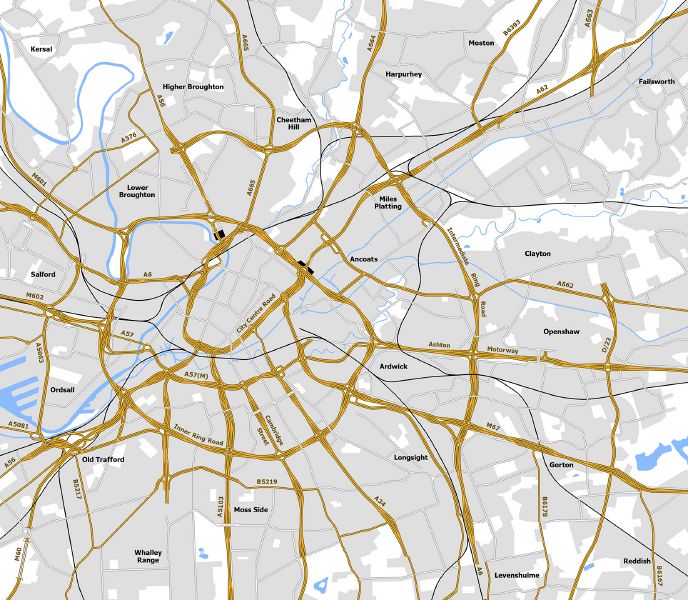
| 21:54, 16 December 2014 |  | 1,468 × 1,162 (770 KB) | Truvelo (talk | contribs) | Future road network for Manchester as planned in the late 1960s |
File usage
The following 6 pages use this file: