File:Mill Lane Bridge, Kingsway Tunnel... (C) El Pollock - Geograph - 1409370.jpg
Jump to navigation
Jump to search

No higher resolution available.
Mill_Lane_Bridge,_Kingsway_Tunnel..._(C)_El_Pollock_-_Geograph_-_1409370.jpg (640 × 480 pixels, file size: 79 KB, MIME type: image/jpeg)
| |||||||||||||||||||||||||
|
Galleries | A59 | Kingsway Tunnel (Liverpool) | Wallasey | ||
File history
Click on a date/time to view the file as it appeared at that time.
| Date/Time | Thumbnail | Dimensions | User | Comment | |
|---|---|---|---|---|---|
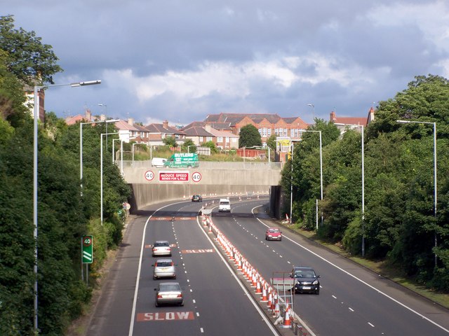
| current | 17:16, 15 September 2014 | | 640 × 480 (79 KB) | Jeni (talk | contribs) | '''Mill Lane Bridge, Kingsway Tunnel... (C) El Pollock '''<br/>The view from Breck Road Bridge. Kingsway Tunnel Approach is the dual carriageway. Mill Lane is on the bridge which crosses over. This was originally the site of Liscard & Poulton railway s... |
File usage
The following 3 pages use this file:
_El_Pollock_-_Geograph_-_1409370.jpg&oldid=387278)