File:Milton Keynes- A5 at Redmoor Roundabout - Geograph - 1846393.jpg

From Roader's Digest: The SABRE Wiki
Jump to navigation Jump to search

Milton_Keynes-_A5_at_Redmoor_Roundabout_-_Geograph_-_1846393.jpg(640 × 480 pixels, file size: 78 KB, MIME type: image/jpeg)

Y topleft.gifY topright.gif
Description:
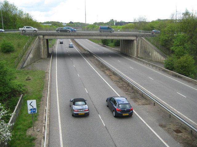
Milton Keynes- A5 at Redmoor Roundabout
Not the old Watling Street A5 but the rerouted modern dual carriageway version is seen here at the Redmoor Roundabout at the junction with Grafton Street. This view was taken from the haven of peace that is the footpath and cycleway bridge through the middle of the roundabout.
Location:52.011905, -0.739773
Road:A5, V6 (Milton Keynes)
Date:01 05 2010
Photographer:� Copyright Nigel Cox and licensed for reuse under this Creative Commons Licence
Source:Geograph

Map

Y btmleft.gifY btmright.gif

Galleries  | A5 | V6 (Milton Keynes) | Milton Keynes | D2 | Buckinghamshire | Redmoor Roundabout

File history

Click on a date/time to view the file as it appeared at that time.

Date/TimeThumbnailDimensionsUserComment
current18:34, 22 July 2010Thumbnail for version as of 18:34, 22 July 2010640 × 480 (78 KB)Bob@romiley1 (talk | contribs)'''Milton Keynes- A5 at Redmoor Roundabout'''<br/>Not the old Watling Street A5 but the rerouted modern dual carriageway version is seen here at the Redmoor Roundabout at the junction with Grafton Street. This view was taken from the haven of peace that i

Metadata

SABRE - The Society for All British and Irish Road Enthusiasts
Discuss - Digest - Discover - Help