File:Motorway sign, Belfast - Geograph - 495862.jpg
Jump to navigation
Jump to search

No higher resolution available.
Motorway_sign,_Belfast_-_Geograph_-_495862.jpg (640 × 426 pixels, file size: 64 KB, MIME type: image/jpeg)
| |||||||||||||||||||||||||
|
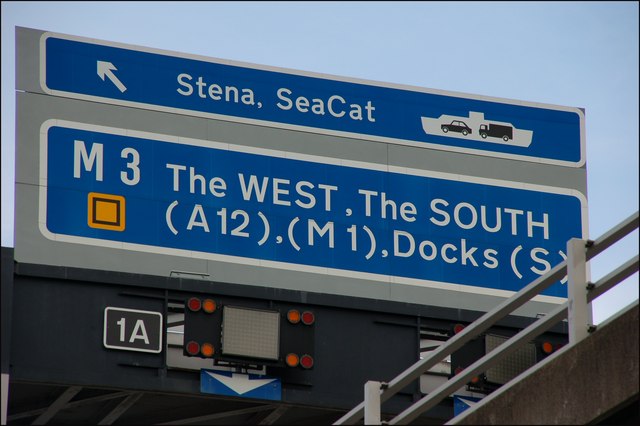
Galleries | M3 (Northern Ireland) | T7 (Northern Ireland) | Belfast | Gantry Sign | Middlepath Street Interchange | ||
File history
Click on a date/time to view the file as it appeared at that time.
| Date/Time | Thumbnail | Dimensions | User | Comment | |
|---|---|---|---|---|---|
| current | 13:08, 4 May 2010 | | 640 × 426 (64 KB) | Si404 (talk | contribs) | '''Motorway sign, Belfast'''<br/>It is not easy to photograph a motorway sign legally. This was taken from ground level <a href="http://www.geograph.org.uk/photo/495849">J3474 : Elevated railway and road, Belfast</a>. See also <a href="http://www.geogra |
File usage
The following 2 pages use this file: