File:Motorway sign, Sprucefield-Lisburn - Geograph - 1749808.jpg
Jump to navigation
Jump to search

No higher resolution available.
Motorway_sign,_Sprucefield-Lisburn_-_Geograph_-_1749808.jpg (640 × 399 pixels, file size: 81 KB, MIME type: image/jpeg)
| |||||||||||||||||||||||||
|
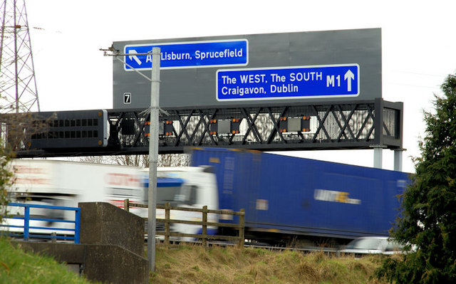
Galleries | M1 (Northern Ireland) | Gantry Sign | Lisburn | Sprucefield Roundabout | Junctions in Northern Ireland | ||
File history
Click on a date/time to view the file as it appeared at that time.
| Date/Time | Thumbnail | Dimensions | User | Comment | |
|---|---|---|---|---|---|
| current | 14:51, 14 March 2010 | | 640 × 399 (81 KB) | Jeni (talk | contribs) | '''Motorway sign, Sprucefield-Lisburn'''<br/>Gantry sign for southbound traffic approaching the original Sprucefield junction (J7) and the more recent one <a href="http://www.geograph.org.uk/photo/417321">J2462 : The M1 at Sprucefield</a> (J8) used by tra |
File usage
The following 4 pages use this file: