File:Nun Street, St. Davids (C) wfmillar - Geograph - 3863188.jpg
Jump to navigation
Jump to search

No higher resolution available.
Nun_Street,_St._Davids_(C)_wfmillar_-_Geograph_-_3863188.jpg (640 × 361 pixels, file size: 64 KB, MIME type: image/jpeg)
| |||||||||||||||||||||||||
File history
Click on a date/time to view the file as it appeared at that time.
| Date/Time | Thumbnail | Dimensions | User | Comment | |
|---|---|---|---|---|---|
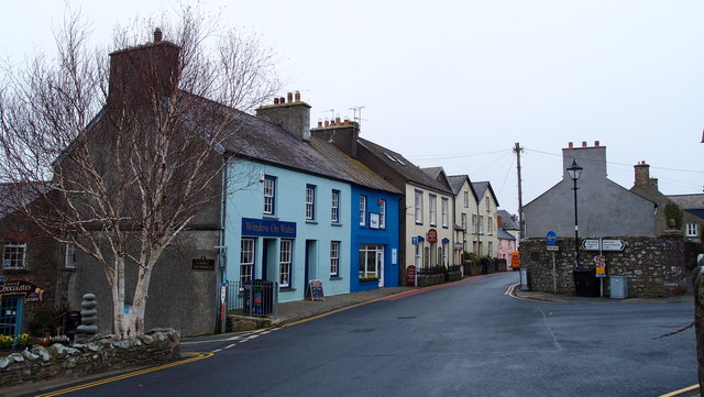
| current | 13:31, 4 April 2014 | | 640 × 361 (64 KB) | Ritchie333 (talk | contribs) | '''Nun Street, St. Davids (C) wfmillar '''<br/>The A487 to Fishgard. |
File usage
The following 3 pages use this file:
_wfmillar_-_Geograph_-_3863188.jpg&oldid=369923)