File:OSM Oct 2009 Longbridge Island.png
Jump to navigation
Jump to search

Size of this preview: 679 × 600 pixels. Other resolution: 1,089 × 962 pixels.
Original file (1,089 × 962 pixels, file size: 143 KB, MIME type: image/png)
| |||||||||||||||||||||||||
|
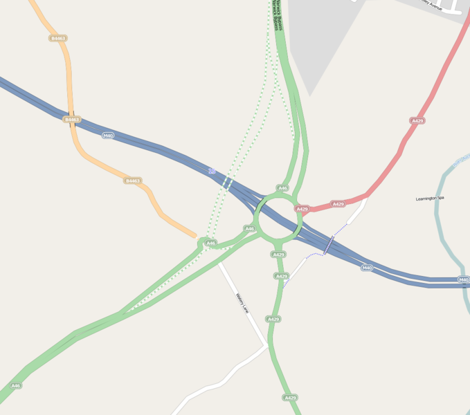
Galleries | M40 | A46 | A429 | Longbridge Island | ||
File history
Click on a date/time to view the file as it appeared at that time.
| Date/Time | Thumbnail | Dimensions | User | Comment | |
|---|---|---|---|---|---|
| current | 23:13, 15 October 2009 | | 1,089 × 962 (143 KB) | Jeni (talk | contribs) | {{Information |description = |day = 16 |month = 10 |year = 2009 |photographer = |source = {{OSMlicence}} |road = M40 |road2 = A46 |road3 = A429 |lat = 52.2601 |lng = -1.6140 |gallery |
File usage
The following 2 pages use this file: