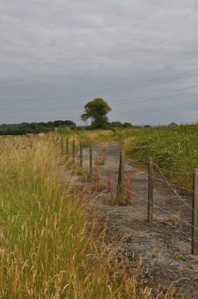
The former A985, replaced by the Valleyfield and Torryburn by-pass. This section starts at the lay-by opposite Blairhall Farm and runs parallel to the new road for most of its length before joining the B9037 near Woodhead Farm.
The former A985, replaced by the Valleyfield and Torryburn by-pass. This section starts at the lay-by opposite Blairhall Farm and runs parallel to the new road for most of its length before rejoining the B9037 near Woodhead Farm.
