File:Old Gartmore Road-Rob Roy Way - Geograph - 2910760.jpg
Jump to navigation
Jump to search

No higher resolution available.
Old_Gartmore_Road-Rob_Roy_Way_-_Geograph_-_2910760.jpg (640 × 481 pixels, file size: 609 KB, MIME type: image/jpeg)
| |||||||||||||||||||||||||
|
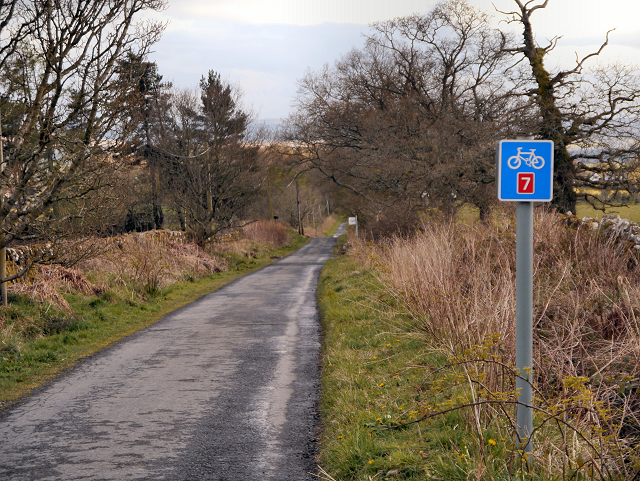
Galleries | NCN7 | Information Sign | National Cycle Network | ||
File history
Click on a date/time to view the file as it appeared at that time.
| Date/Time | Thumbnail | Dimensions | User | Comment | |
|---|---|---|---|---|---|
| current | 19:13, 26 July 2012 | | 640 × 481 (609 KB) | Bryn666 (talk | contribs) | Old Gartmore Road-Rob Roy Way |
File usage
The following page uses this file: