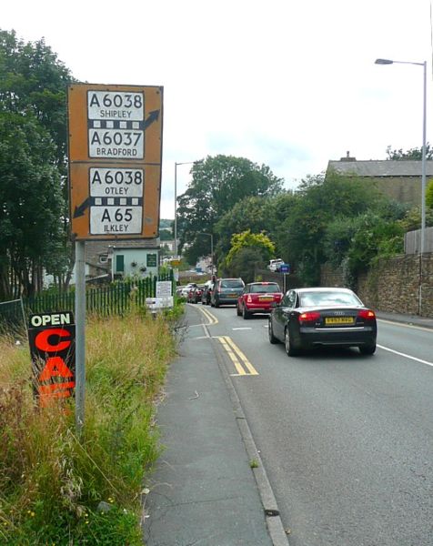
File:Old road sign, Baildon Road, Baildon - Geograph - 1468015.jpg
Jump to navigation
Jump to search

Size of this preview: 476 × 600 pixels. Other resolution: 508 × 640 pixels.
Original file (508 × 640 pixels, file size: 124 KB, MIME type: image/jpeg)
| |||||||||||||||||||||||||
|
Galleries | A6038 | B6151 | Pre-Worboys Advance Direction Signs | ||
File history
Click on a date/time to view the file as it appeared at that time.
| Date/Time | Thumbnail | Dimensions | User | Comment | |
|---|---|---|---|---|---|
| current | 02:29, 13 November 2009 | | 508 × 640 (124 KB) | Jeni (talk | contribs) | {{Information |description = Old road sign, Baildon Road, Baildon |day = 31 |month = 08 |year = 2009 |photographer = © Copyright [http://www.geograph.org.uk/profile/1712 Humphrey Bolton] and licensed for reuse under [http://creat |
File usage
The following 5 pages use this file: