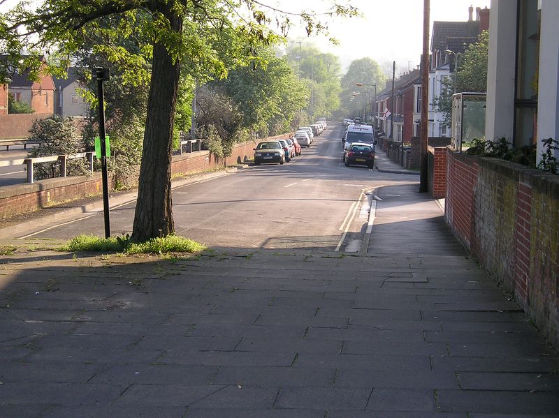
Before the Churchill way was built the old route of the A36 made its way from St paul's down to the Castle street junction. This being St Paul's road in Salisbury .Note the new is to the left.
Before the Churchill way was built the old route of the A36 made its way from St paul's down to the Castle street junction. This being St Paul's road in Salisbury .Note the new is to the left.
