 | |  |
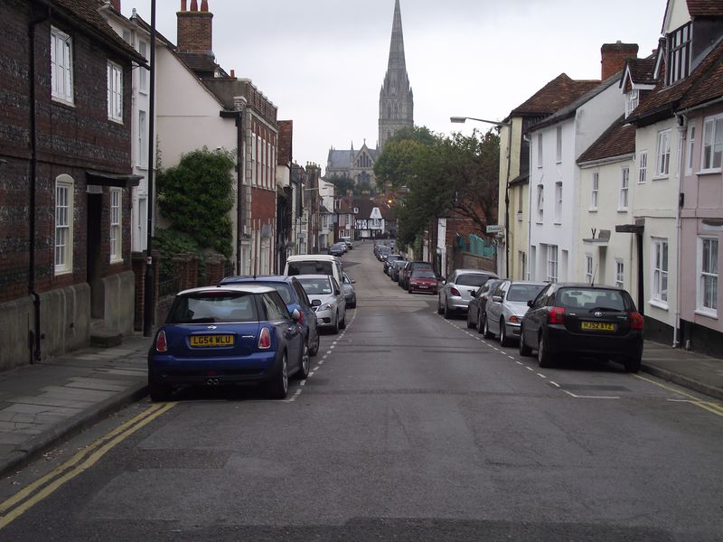
| | Description: | Until around 1968 this was the main A36 road out of Salisbury to Southampton . The newer Churchill way now takes traffic away,This street is St Ann's. | | Location: | 51.0664075, -1.7892051 | | Road: | A36 | | Date: | 03 09 2011 | | Photographer: | Robbie George | | Source: | |
|
|
| |
 | |  |
File history
Click on a date/time to view the file as it appeared at that time.
| Date/Time | Thumbnail | Dimensions | User | Comment |
|---|
| current | 20:08, 3 September 2011 | 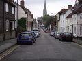 | 4,000 × 3,000 (2.97 MB) | Robbie george (talk | contribs) | Until around 1968 this was the main A36 road out of Salisbury to Southampton . The newer Churchill way now takes traffic away,This street is St Ann's. |
File usage
There are no pages that use this file.
This file contains additional information, probably added from the digital camera or scanner used to create or digitise it.
If the file has been modified from its original state, some details may not fully reflect the modified file.
