File:Original A74, north of Crawford - Coppermine - 18519.JPG
Jump to navigation
Jump to search

Size of this preview: 800 × 600 pixels. Other resolution: 1,136 × 852 pixels.
Original file (1,136 × 852 pixels, file size: 135 KB, MIME type: image/jpeg)
| |||||||||||||||||||||||||
|
Galleries | A74 | A74(M) | A702 | Crawford & Elvanfoot Interchanges | Advance Direction Sign | ||
File history
Click on a date/time to view the file as it appeared at that time.
| Date/Time | Thumbnail | Dimensions | User | Comment | |
|---|---|---|---|---|---|
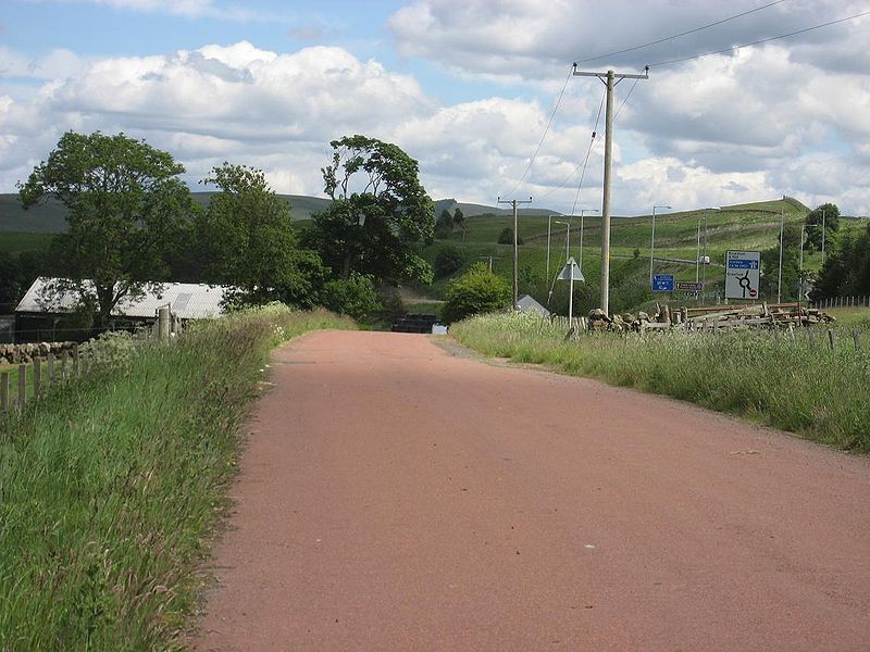
| current | 17:11, 29 March 2010 | | 1,136 × 852 (135 KB) | Rileyrob (talk | contribs) | '''Original A74, north of Crawford''' Just to the north of Crawford, this old alignment remains in use as access to a farm and a BT building. 1960s alignment to the right and 1990s A74(M) to the right of that. Quite a lot of the 1920s/30s A74 seems to |
File usage
There are no pages that use this file.