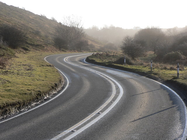
File:Pant St Bride's, St Bride's Major - Geograph - 1119605.jpg
Jump to navigation
Jump to search

No higher resolution available.
Pant_St_Bride's,_St_Bride's_Major_-_Geograph_-_1119605.jpg (640 × 480 pixels, file size: 78 KB, MIME type: image/jpeg)
| |||||||||||||||||||||||||
|
Galleries | B4265 | B4269 (Bridgend - Llantwit Major) | ||
File history
Click on a date/time to view the file as it appeared at that time.
| Date/Time | Thumbnail | Dimensions | User | Comment | |
|---|---|---|---|---|---|
| current | 22:40, 20 February 2010 | | 640 × 480 (78 KB) | Jeni (talk | contribs) | {{Information |description = Pant St Bride's, St Bride's Major |day = 13 |month = 01 |year = 2009 |photographer = © Copyright [http://www.geograph.org.uk/profile/26633 Mick Lobb and licensed for reuse under [http://creativecommon |
File usage
The following 2 pages use this file: