File:Passing Bodelwyddan - Geograph - 1008527.jpg
Jump to navigation
Jump to search

No higher resolution available.
Passing_Bodelwyddan_-_Geograph_-_1008527.jpg (640 × 533 pixels, file size: 98 KB, MIME type: image/jpeg)
| |||||||||||||||||||||||||
|
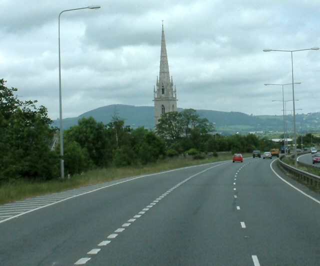
Galleries | A55 | Ffordd Gogledd Cymru | E22 | Flintshire | ||
File history
Click on a date/time to view the file as it appeared at that time.
| Date/Time | Thumbnail | Dimensions | User | Comment | |
|---|---|---|---|---|---|
| current | 02:00, 31 December 2009 | | 640 × 533 (98 KB) | Jeni (talk | contribs) | {{Information |description = Passing Bodelwyddan |day = 04 |month = 06 |year = 2004 |photographer = © Copyright [http://www.geograph.org.uk/profile/22742 Gerald England] and licensed for reuse under [http://creativecommons.org/li |
File usage
The following 5 pages use this file: