File:Quartertown Railway Bridge - Geograph - 562920.jpg
Jump to navigation
Jump to search

No higher resolution available.
Quartertown_Railway_Bridge_-_Geograph_-_562920.jpg (640 × 426 pixels, file size: 100 KB, MIME type: image/jpeg)
| |||||||||||||||||||||||||
|
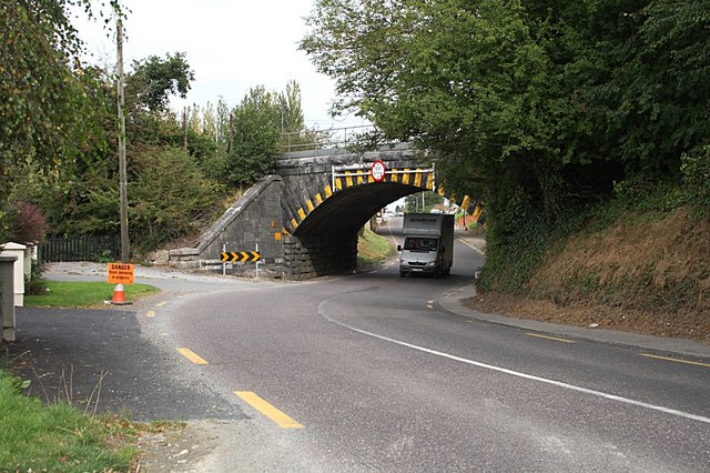
Galleries | R620 | Warning Sign/Sharp Deviation of Route | Regulatory Sign/Maximum Height | ||
File history
Click on a date/time to view the file as it appeared at that time.
| Date/Time | Thumbnail | Dimensions | User | Comment | |
|---|---|---|---|---|---|
| current | 11:11, 9 May 2016 | | 640 × 426 (100 KB) | Viator (talk | contribs) | Bridge carrying the Mallow to Cork railway over the R620 at Quartertown |
File usage
The following 2 pages use this file: