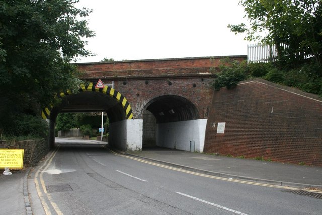
Rail bridge over the road This rail bridge is part of the Brunel line that was first run through but if you look through the arch you can see the flat steel formed bridge of the fast line that was added.
'''Rail bridge over the road'''<br/>This rail bridge is part of the Brunel line that was first run through but if you look through the arch you can see the flat steel formed bridge of the fast line that was added.
File usage
There are no pages that use this file.
Metadata
This file contains additional information, probably added from the digital camera or scanner used to create or digitise it.
If the file has been modified from its original state, some details may not fully reflect the modified file.
