File:Redditch Complete Highway Network.jpg
Jump to navigation
Jump to search

Size of this preview: 715 × 600 pixels. Other resolution: 1,371 × 1,150 pixels.
Original file (1,371 × 1,150 pixels, file size: 395 KB, MIME type: image/jpeg)
File history
Click on a date/time to view the file as it appeared at that time.
| Date/Time | Thumbnail | Dimensions | User | Comment | |
|---|---|---|---|---|---|
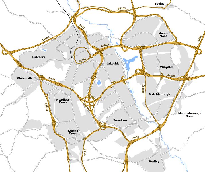
| current | 19:02, 22 October 2013 | | 1,371 × 1,150 (395 KB) | Truvelo (talk | contribs) | Map showing how Redditch could have looked if the entire road network planned in the 1960's was built. |
File usage
The following 7 pages use this file: