File:Ringwood-1954.jpg
Jump to navigation
Jump to search

Size of this preview: 800 × 566 pixels. Other resolution: 855 × 605 pixels.
Original file (855 × 605 pixels, file size: 185 KB, MIME type: image/jpeg)
| |||||||||||||||||||||||||
|
Galleries | A31 | A338 | B3081 | Ringwood | OS One Inch | B3347 | ||
File history
Click on a date/time to view the file as it appeared at that time.
| Date/Time | Thumbnail | Dimensions | User | Comment | |
|---|---|---|---|---|---|
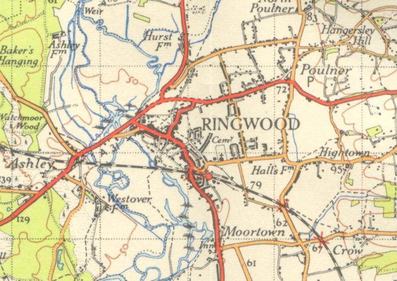
| current | 17:35, 29 November 2009 | | 855 × 605 (185 KB) | Rileyrob (talk | contribs) | {{Information |description = Ringwood in 1954 |day = |month = |year = 1954 |photographer = |source = OS NPE Sheet 179 |road = A31 |road2 = A338 |road3 = B3081 |lat = 50.8454052 |lng |
File usage
The following 3 pages use this file: