File:Road bridge at Rodbridge - Geograph - 1001127.jpg
Jump to navigation
Jump to search

No higher resolution available.
Road_bridge_at_Rodbridge_-_Geograph_-_1001127.jpg (640 × 480 pixels, file size: 110 KB, MIME type: image/jpeg)
| |||||||||||||||||||||||||
|
Galleries | B1064 | S2 | Rod Bridge | ||
File history
Click on a date/time to view the file as it appeared at that time.
| Date/Time | Thumbnail | Dimensions | User | Comment | |
|---|---|---|---|---|---|
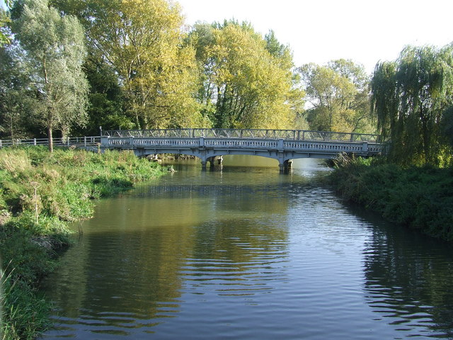
| current | 13:10, 13 June 2010 | | 640 × 480 (110 KB) | Bob@romiley1 (talk | contribs) | '''Road bridge at Rodbridge'''<br/>Road bridge over the River Stour near to Rodbridge picnic area Long Melford Suffolk. |
File usage
The following 3 pages use this file: