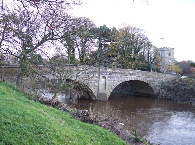
File:Road bridge at St.Michael's on Wyre - Geograph - 1041088.jpg
Jump to navigation
Jump to search

No higher resolution available.
Road_bridge_at_St.Michael's_on_Wyre_-_Geograph_-_1041088.jpg (640 × 479 pixels, file size: 113 KB, MIME type: image/jpeg)
| |||||||||||||||||||||||||
|
Galleries | A586 | St Michaels Bridge (Fylde) | ||
File history
Click on a date/time to view the file as it appeared at that time.
| Date/Time | Thumbnail | Dimensions | User | Comment | |
|---|---|---|---|---|---|
| current | 11:17, 3 August 2010 | | 640 × 479 (113 KB) | Bob@romiley1 (talk | contribs) | Road bridge at St.Michael's on Wyre |
File usage
The following 2 pages use this file: