File:Road bridge over the Lea Navigation at Nazeing - Geograph - 1444029.jpg
Jump to navigation
Jump to search

No higher resolution available.
Road_bridge_over_the_Lea_Navigation_at_Nazeing_-_Geograph_-_1444029.jpg (640 × 480 pixels, file size: 185 KB, MIME type: image/jpeg)
| |||||||||||||||||||||||||
|
Galleries | B194 | Nazeing Bridge | ||
File history
Click on a date/time to view the file as it appeared at that time.
| Date/Time | Thumbnail | Dimensions | User | Comment | |
|---|---|---|---|---|---|
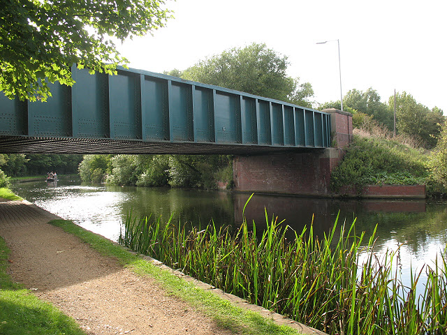
| current | 17:07, 28 May 2010 | | 640 × 480 (185 KB) | Bob@romiley1 (talk | contribs) | '''Road bridge over the Lea Navigation at Nazeing'''<br/>This substantial steel bridge carrying Nazeing New Road over the navigation is also seen in <a href="http://www.geograph.org.uk/photo/368147">TL3706 : Nazeing New Road crossing the River Lea</a>. |
File usage
The following 3 pages use this file: