File:Road junction at the Old Hills - Geograph - 623230.jpg
Jump to navigation
Jump to search

No higher resolution available.
Road_junction_at_the_Old_Hills_-_Geograph_-_623230.jpg (640 × 480 pixels, file size: 79 KB, MIME type: image/jpeg)
| |||||||||||||||||||||||||
File history
Click on a date/time to view the file as it appeared at that time.
| Date/Time | Thumbnail | Dimensions | User | Comment | |
|---|---|---|---|---|---|
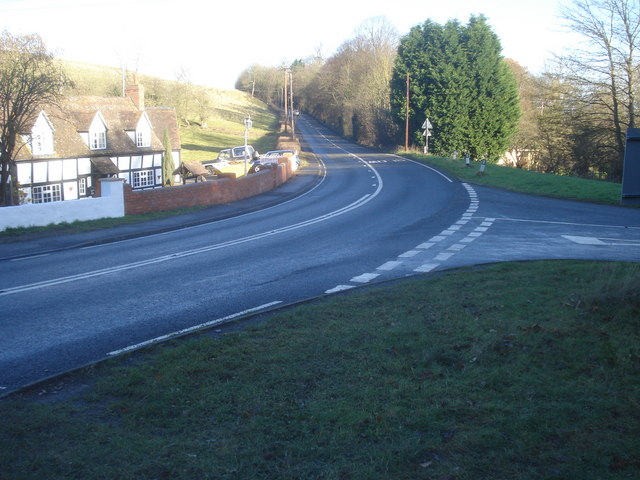
| current | 15:22, 17 March 2010 | | 640 × 480 (79 KB) | Bob@romiley1 (talk | contribs) | '''Road junction at the Old Hills'''<br/>Looking north-east along the B4424 heading for Callow End. Pixham Ferry Lane to the right. |
File usage
The following 3 pages use this file: