File:Road up Mount High - Geograph - 617466.jpg
Jump to navigation
Jump to search

No higher resolution available.
Road_up_Mount_High_-_Geograph_-_617466.jpg (640 × 480 pixels, file size: 107 KB, MIME type: image/jpeg)
| |||||||||||||||||||||||||
|
Galleries | B9160 | B8026 (Black Isle) | S2 | ||
File history
Click on a date/time to view the file as it appeared at that time.
| Date/Time | Thumbnail | Dimensions | User | Comment | |
|---|---|---|---|---|---|
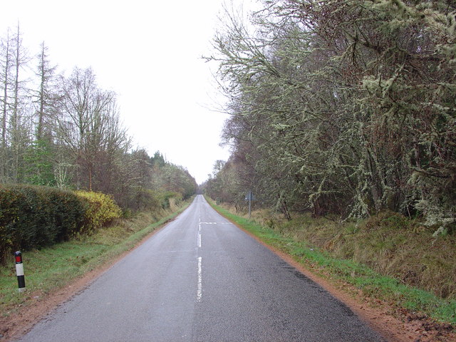
| current | 11:35, 30 April 2010 | | 640 × 480 (107 KB) | Bob@romiley1 (talk | contribs) | '''Road up Mount High'''<br/>The B9160 road goes South south-east up Mount High on the Millbuie Ridge, towards Rosemarkie. |
File usage
The following 4 pages use this file: