File:Road works near Pendeford Hall - Geograph - 2108406.jpg
Jump to navigation
Jump to search

No higher resolution available.
Road_works_near_Pendeford_Hall_-_Geograph_-_2108406.jpg (640 × 480 pixels, file size: 114 KB, MIME type: image/jpeg)
| |||||||||||||||||||||||||
|
Galleries | U119 (Wolverhampton) | C40 (Staffordshire) | Wolverhampton | ||
File history
Click on a date/time to view the file as it appeared at that time.
| Date/Time | Thumbnail | Dimensions | User | Comment | |
|---|---|---|---|---|---|
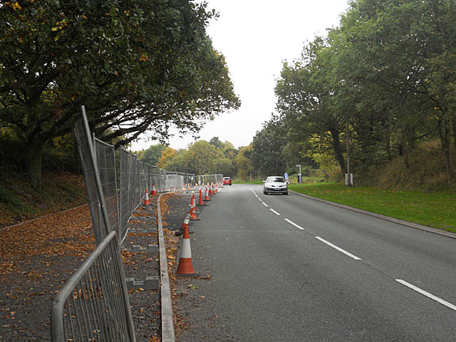
| current | 09:25, 14 October 2016 | | 640 × 480 (114 KB) | Steven (talk | contribs) | Wobaston Road near Pendeford, where the two Class III roads U119 (Wolverhampton) and C40 (Staffordshire) have an end-on connection at the local authority boundary. |
File usage
The following page uses this file: