File:Roundabout on St Clements Way (C) David Anstiss - Geograph - 3215134.jpg
Jump to navigation
Jump to search

No higher resolution available.
Roundabout_on_St_Clements_Way_(C)_David_Anstiss_-_Geograph_-_3215134.jpg (640 × 480 pixels, file size: 61 KB, MIME type: image/jpeg)
| |||||||||||||||||||||||||
File history
Click on a date/time to view the file as it appeared at that time.
| Date/Time | Thumbnail | Dimensions | User | Comment | |
|---|---|---|---|---|---|
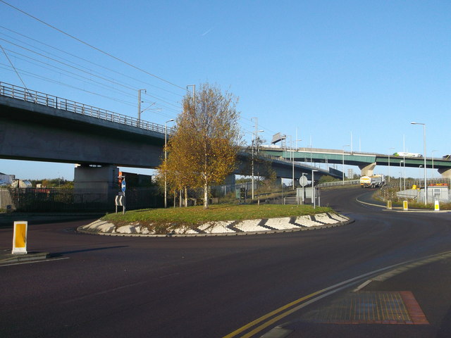
| current | 15:44, 27 May 2014 | | 640 × 480 (61 KB) | Vlad (talk | contribs) | '''Roundabout on St Clements Way (C) David Anstiss '''<br/>St Clements Way, leads from the various industrial parks on the West Thurrock Marshes towards London Road (West Thurrock).<br /> <br /> On the left is the High Speed 1 Railway, carrying the C... |
File usage
The following 2 pages use this file:
_David_Anstiss_-_Geograph_-_3215134.jpg&oldid=375498)