File:Routeways in the valley of the Evan Water - Geograph - 1004469.jpg
Jump to navigation
Jump to search

No higher resolution available.
Routeways_in_the_valley_of_the_Evan_Water_-_Geograph_-_1004469.jpg (640 × 480 pixels, file size: 73 KB, MIME type: image/jpeg)
| |||||||||||||||||||||||||
|
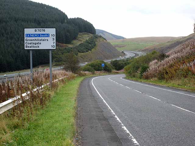
Galleries | A74 | B7076 | South West Coastal 300 | ||
File history
Click on a date/time to view the file as it appeared at that time.
| Date/Time | Thumbnail | Dimensions | User | Comment | |
|---|---|---|---|---|---|
| current | 09:32, 3 April 2013 | | 640 × 480 (73 KB) | Ritchie333 (talk | contribs) | Routeways in the valley of the Evan Water |