File:Scot-1938-n.jpg
Jump to navigation
Jump to search

Size of this preview: 800 × 489 pixels. Other resolutions: 2,560 × 1,565 pixels | 4,524 × 2,766 pixels.
Original file (4,524 × 2,766 pixels, file size: 3.93 MB, MIME type: image/jpeg)
| ||||||||||||||
|
Galleries | Bartholomews Mapping | ||
File history
Click on a date/time to view the file as it appeared at that time.
| Date/Time | Thumbnail | Dimensions | User | Comment | |
|---|---|---|---|---|---|
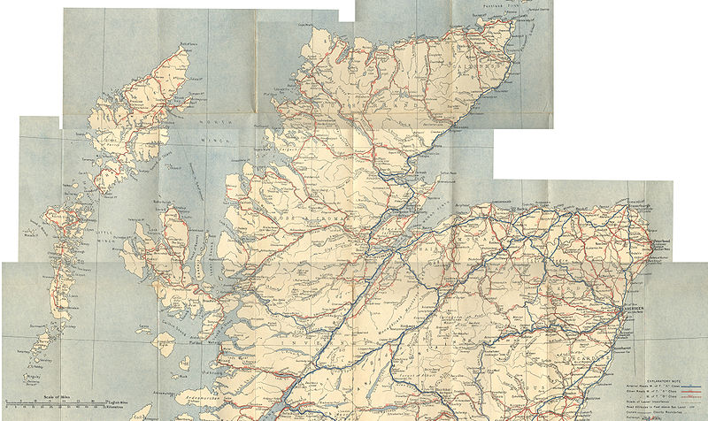
| current | 14:21, 12 August 2010 | | 4,524 × 2,766 (3.93 MB) | Rileyrob (talk | contribs) | The Duplex map of Scotland and Northern England by John Bartholomew & Son Ltd. Arterial and Main Roads and MOT Road Numbers shown with distinctive colouring. 8miles/inch |
| 20:44, 11 August 2010 |  | 4,493 × 2,675 (3.99 MB) | Rileyrob (talk | contribs) | The Duplex map of Scotland and Northern England by John Bartholomew & Son Ltd. Arterial and Main Roads and MOT Road Numbers shown with distinctive colouring. 8miles/inch |
File usage
There are no pages that use this file.