File:Sedgley Approach - Geograph - 1998609.jpg
Jump to navigation
Jump to search

Size of this preview: 450 × 600 pixels. Other resolution: 480 × 640 pixels.
Original file (480 × 640 pixels, file size: 70 KB, MIME type: image/jpeg)
| |||||||||||||||||||||||||
|
Galleries | A463 | ||
File history
Click on a date/time to view the file as it appeared at that time.
| Date/Time | Thumbnail | Dimensions | User | Comment | |
|---|---|---|---|---|---|
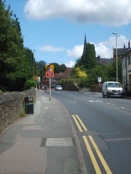
| current | 22:12, 19 August 2010 | | 480 × 640 (70 KB) | Steven (talk | contribs) | '''Sedgley Approach'''<br/>The view up Gospel End Street towards the Village centre and All Saints Church on the skyline. |
File usage
There are no pages that use this file.