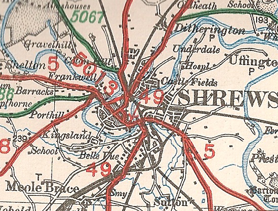
File:Shrewsbury-1927.jpg
Jump to navigation
Jump to search

No higher resolution available.
Shrewsbury-1927.jpg (549 × 418 pixels, file size: 185 KB, MIME type: image/jpeg)
| |||||||||||||||||||||||||
|
Galleries | A5012 (Shrewsbury) | A5013 (Shrewsbury) | A5 | Shrewsbury | OS Ministry of Transport Road Map | A49 | ||
File history
Click on a date/time to view the file as it appeared at that time.
| Date/Time | Thumbnail | Dimensions | User | Comment | |
|---|---|---|---|---|---|
| current | 18:40, 26 August 2010 | | 549 × 418 (185 KB) | Steven (talk | contribs) | Shrewsbury in 1927 |
File usage
The following 4 pages use this file: