File:Slip road off the M74 - Geograph - 1868034.jpg
Jump to navigation
Jump to search

No higher resolution available.
Slip_road_off_the_M74_-_Geograph_-_1868034.jpg (640 × 443 pixels, file size: 41 KB, MIME type: image/jpeg)
| |||||||||||||||||||||||||
|
Galleries | A74(M) | A75 | E18 | A74(M) J22 | Gretna | Fork sign | Galloway Tourist Route | ||
File history
Click on a date/time to view the file as it appeared at that time.
| Date/Time | Thumbnail | Dimensions | User | Comment | |
|---|---|---|---|---|---|
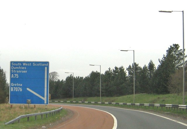
| current | 16:52, 27 May 2011 | | 640 × 443 (41 KB) | Si404 (talk | contribs) | '''Slip road off the M74'''<br/>This slip road links the A74(M) and the A75. |
File usage
There are no pages that use this file.