File:Soundwell Road (C) Derek Harper - Geograph - 1776237.jpg
Jump to navigation
Jump to search

No higher resolution available.
Soundwell_Road_(C)_Derek_Harper_-_Geograph_-_1776237.jpg (640 × 418 pixels, file size: 65 KB, MIME type: image/jpeg)
| |||||||||||||||||||||||||
|
Galleries | A4017 | ||
File history
Click on a date/time to view the file as it appeared at that time.
| Date/Time | Thumbnail | Dimensions | User | Comment | |
|---|---|---|---|---|---|
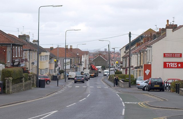
| current | 19:46, 4 November 2013 | | 640 × 418 (65 KB) | Vlad (talk | contribs) | '''Soundwell Road (C) Derek Harper '''<br/>The A4017 passing through Upper Soundwell, close to the site of the Downcast coal pit. The area supplied much-needed fuel for the industries of the Bristol area, but retained an independent spirit; Soundwell R... |
File usage
The following 2 pages use this file:
_Derek_Harper_-_Geograph_-_1776237.jpg&oldid=357762)