File:South Bridge - Geograph - 3652455.jpg
Jump to navigation
Jump to search

No higher resolution available.
South_Bridge_-_Geograph_-_3652455.jpg (640 × 480 pixels, file size: 88 KB, MIME type: image/jpeg)
| |||||||||||||||||||||||||
|
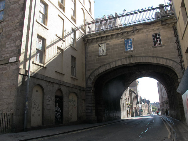
Galleries | A7 | Edinburgh | South Bridge (Edinburgh) | ||
File history
Click on a date/time to view the file as it appeared at that time.
| Date/Time | Thumbnail | Dimensions | User | Comment | |
|---|---|---|---|---|---|
| current | 11:30, 15 June 2016 | | 640 × 480 (88 KB) | Stuartf (talk | contribs) | '''South Bridge''' Looking eastwards along Cowgate under the bridge. Built 1786-1788, now listed category B (ref. 27950). |
File usage
The following 2 pages use this file: