File:St Augustine Road Bridge - Geograph - 489667.jpg
Jump to navigation
Jump to search

Size of this preview: 468 × 599 pixels. Other resolution: 500 × 640 pixels.
Original file (500 × 640 pixels, file size: 99 KB, MIME type: image/jpeg)
| |||||||||||||||||||||||||
|
Galleries | A47 | St Augustine Bridge | Leicester | ||
File history
Click on a date/time to view the file as it appeared at that time.
| Date/Time | Thumbnail | Dimensions | User | Comment | |
|---|---|---|---|---|---|
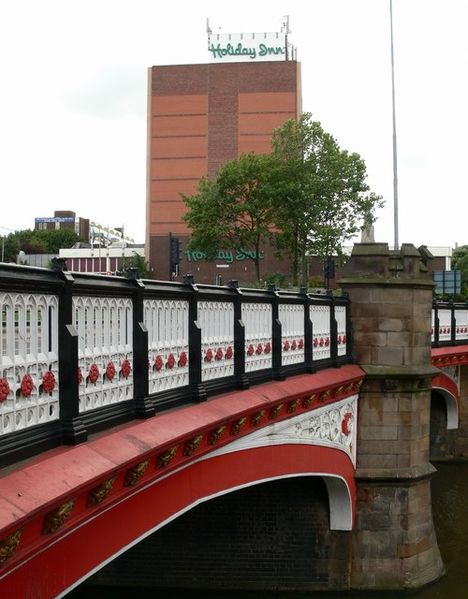
| current | 19:47, 31 March 2010 | | 500 × 640 (99 KB) | Bob@romiley1 (talk | contribs) | '''St Augustine Road Bridge'''<br/>This ornate bridge carries St Augustine Road over the Grand Union Canal. The Holiday Inn at St Nicholas Circle is visible in the background. |
File usage
The following 2 pages use this file: