File:St John's United Reformed Church, London Road, Bexhill - Geograph - 4010151.jpg
Jump to navigation
Jump to search

No higher resolution available.
St_John's_United_Reformed_Church,_London_Road,_Bexhill_-_Geograph_-_4010151.jpg (640 × 480 pixels, file size: 60 KB, MIME type: image/jpeg)
| |||||||||||||||||||||||||
|
Galleries | A269 | B2099 (Bexhill) | ||
File history
Click on a date/time to view the file as it appeared at that time.
| Date/Time | Thumbnail | Dimensions | User | Comment | |
|---|---|---|---|---|---|
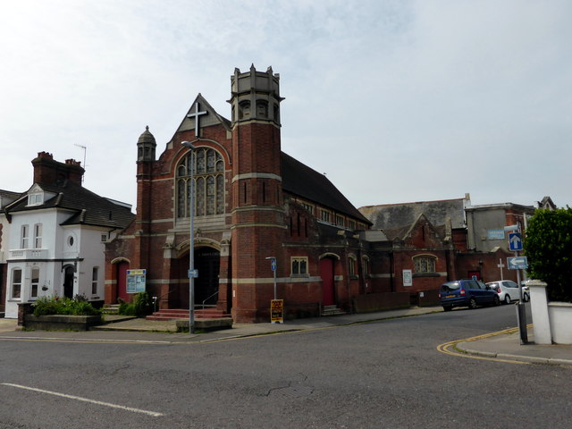
| current | 19:41, 14 March 2017 | | 640 × 480 (60 KB) | Vlad (talk | contribs) | '''St John's United Reformed Church, London Road, Bexhill''' Closed as a church in 2009 now a youth centre |
File usage
The following 3 pages use this file: