File:St Paul's Rd (A1199) (C) N Chadwick - Geograph - 3844104.jpg
Jump to navigation
Jump to search

No higher resolution available.
St_Paul's_Rd_(A1199)_(C)_N_Chadwick_-_Geograph_-_3844104.jpg (640 × 430 pixels, file size: 69 KB, MIME type: image/jpeg)
| |||||||||||||||||||||||||
|
Galleries | A1199 (Canonbury) | B103 | ||
File history
Click on a date/time to view the file as it appeared at that time.
| Date/Time | Thumbnail | Dimensions | User | Comment | |
|---|---|---|---|---|---|
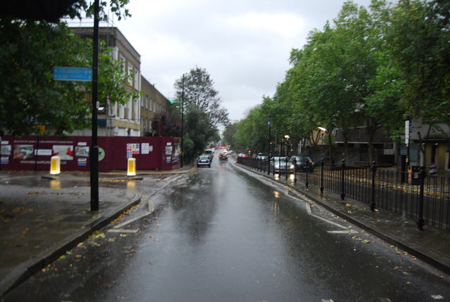
| current | 19:46, 11 June 2014 | | 640 × 430 (69 KB) | Vlad (talk | contribs) | '''St Paul's Rd (A1199) (C) N Chadwick '''<br/> The A1199 is a short road (1.1km)from Highbury Corner to Canonbury. |
File usage
The following 3 pages use this file:
_(C)_N_Chadwick_-_Geograph_-_3844104.jpg&oldid=392022)