File:Start of the M4 - Geograph - 573380.jpg
Jump to navigation
Jump to search

No higher resolution available.
Start_of_the_M4_-_Geograph_-_573380.jpg (640 × 379 pixels, file size: 59 KB, MIME type: image/jpeg)
| |||||||||||||||||||||||||
|
Galleries | M4 | A48 | E30 | A483 | Pont Abraham Interchange | Flag Sign | Chopsticks | ||
File history
Click on a date/time to view the file as it appeared at that time.
| Date/Time | Thumbnail | Dimensions | User | Comment | |
|---|---|---|---|---|---|
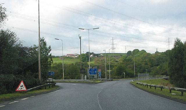
| current | 13:51, 30 December 2009 | | 640 × 379 (59 KB) | Jeni (talk | contribs) | {{Information |description = Start of the M4 |day = 29 |month = 09 |year = 2007 |photographer = © Copyright [http://www.geograph.org.uk/profile/13903 Pauline Eccles] and licensed for reuse under [http://creativecommons.org/licens |
File usage
The following 2 pages use this file: