File:Staxton hill from the A64 - Geograph - 1474788.jpg
Jump to navigation
Jump to search

No higher resolution available.
Staxton_hill_from_the_A64_-_Geograph_-_1474788.jpg (640 × 480 pixels, file size: 74 KB, MIME type: image/jpeg)
| |||||||||||||||||||||||||
|
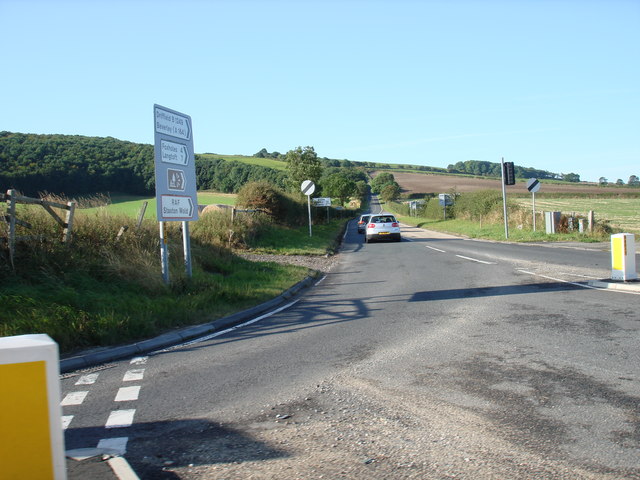
Galleries | B1249 | A64 | Flag Sign | National speed limit | Route Confirmation Sign | S2 | ||
File history
Click on a date/time to view the file as it appeared at that time.
| Date/Time | Thumbnail | Dimensions | User | Comment | |
|---|---|---|---|---|---|
| current | 15:19, 3 February 2010 | | 640 × 480 (74 KB) | Bob@romiley1 (talk | contribs) | {{Information |description = Staxton hill from the A64 |day = 05 |month = 09 |year = 2009 |photographer = © Copyright [http://www.geograph.org.uk/profile/39890 phillip andrew carl taylor] and licensed for reuse under [http://crea |
File usage
The following 2 pages use this file: