File:Stratford Road, Sparkhill - Geograph - 196968.jpg
Jump to navigation
Jump to search

No higher resolution available.
Stratford_Road,_Sparkhill_-_Geograph_-_196968.jpg (640 × 480 pixels, file size: 62 KB, MIME type: image/jpeg)
| |||||||||||||||||||||||||
|
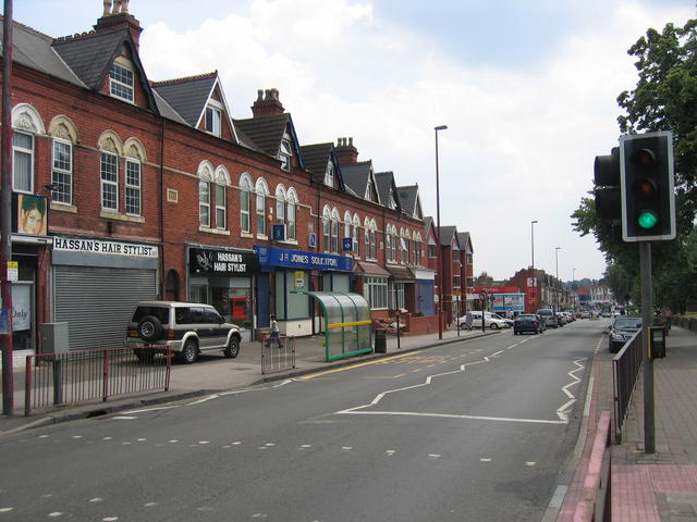
Galleries | A34 | Birmingham | Pelican Crossing | A34 (Solihull - Salford) | ||
File history
Click on a date/time to view the file as it appeared at that time.
| Date/Time | Thumbnail | Dimensions | User | Comment | |
|---|---|---|---|---|---|
| current | 21:08, 14 December 2009 | | 640 × 480 (62 KB) | Jeni (talk | contribs) | {{Information |description = Stratford Road, Sparkhill |day = 02 |month = 07 |year = 2006 |photographer = © Copyright [http://www.geograph.org.uk/profile/120 David Stowell] and licensed for reuse under [http://creativecommons.org |
File usage
The following page uses this file: