File:T40.png
Jump to navigation
Jump to search

No higher resolution available.
T40.png (391 × 414 pixels, file size: 356 KB, MIME type: image/png)
| |||||||||||||||||||||||||
|
Galleries | T40 | ||
File history
Click on a date/time to view the file as it appeared at that time.
| Date/Time | Thumbnail | Dimensions | User | Comment | |
|---|---|---|---|---|---|
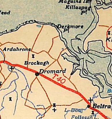
| current | 16:06, 23 March 2011 | | 391 × 414 (356 KB) | Ritchie333 (talk | contribs) | T40 in Western Ireland |
File usage
The following page uses this file: