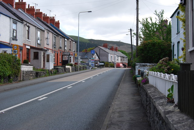
File:Telford's Toll Road (A5) goes east through Llidiart y Parc - Geograph - 1291276.jpg
Jump to navigation
Jump to search

No higher resolution available.
Telford's_Toll_Road_(A5)_goes_east_through_Llidiart_y_Parc_-_Geograph_-_1291276.jpg (640 × 428 pixels, file size: 77 KB, MIME type: image/jpeg)
| |||||||||||||||||||||||||
|
Galleries | A5 | ||
File history
Click on a date/time to view the file as it appeared at that time.
| Date/Time | Thumbnail | Dimensions | User | Comment | |
|---|---|---|---|---|---|
| current | 21:37, 3 January 2010 | | 640 × 428 (77 KB) | Jeni (talk | contribs) | {{Information |description = Telford's Toll Road (A5) goes east through Llidiart y Parc |day = 07 |month = 05 |year = 2009 |photographer = © Copyright [http://www.geograph.org.uk/profile/2076 John Haynes] and licensed for reuse u |
File usage
There are no pages that use this file.
_goes_east_through_Llidiart_y_Parc_-_Geograph_-_1291276.jpg&oldid=110413)