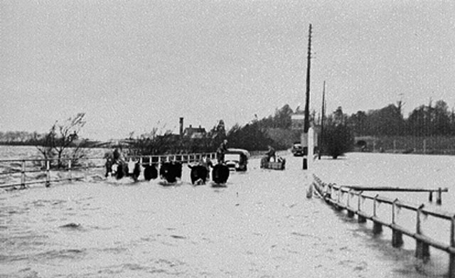
Tewkesbury Floods NNW on Mythe Causeway to Mythe Hill and waterworks, in floods. Cattle -- such as my father had for sale -- being driven through water to Tewkesbury Livestock Market. (I was only three years old at the time (!) and the photographer was my sister).
'''Tewkesbury Floods'''<br/>NNW on Mythe Causeway to Mythe Hill and waterworks, in floods. Cattle -- such as my father had for sale -- being driven through water to Tewkesbury Livestock Market. (I was only three years old at the time (!) and the photogr
File usage
There are no pages that use this file.
Metadata
This file contains additional information, probably added from the digital camera or scanner used to create or digitise it.
If the file has been modified from its original state, some details may not fully reflect the modified file.
