File:The "New" Crevenagh Road, Omagh - Geograph - 958867.jpg
Jump to navigation
Jump to search

No higher resolution available.
The_"New"_Crevenagh_Road,_Omagh_-_Geograph_-_958867.jpg (640 × 303 pixels, file size: 30 KB, MIME type: image/jpeg)
| |||||||||||||||||||||||||
|
Galleries | A505 (Northern Ireland) | T10 (Northern Ireland) | Omagh | Flag Sign | A100-A999 (Northern Ireland) | ||
File history
Click on a date/time to view the file as it appeared at that time.
| Date/Time | Thumbnail | Dimensions | User | Comment | |
|---|---|---|---|---|---|
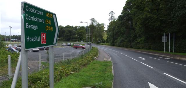
| current | 14:13, 16 June 2010 | | 640 × 303 (30 KB) | Si404 (talk | contribs) | '''The "New" Crevenagh Road, Omagh'''<br/>Heading NNE towards the Swinging Bars, via the Irishtown roundabout. |
File usage
The following 4 pages use this file: