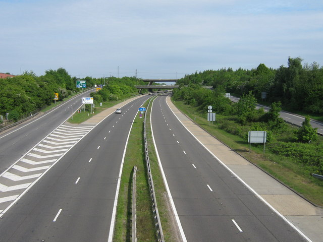
File:The A20 Dual Carriageway becomes the M20 Motorway.jpg
Jump to navigation
Jump to search

No higher resolution available.
The_A20_Dual_Carriageway_becomes_the_M20_Motorway.jpg (640 × 480 pixels, file size: 65 KB, MIME type: image/jpeg)
| |||||||||||||||||||||||||
|
Galleries | A20 | M20 | Swanley Interchange | Swanley | ||
File history
Click on a date/time to view the file as it appeared at that time.
| Date/Time | Thumbnail | Dimensions | User | Comment | |
|---|---|---|---|---|---|
| current | 09:19, 25 August 2009 | | 640 × 480 (65 KB) | Abeaton (talk | contribs) | {{Information |description =The A20 Dual Carriageway becomes the M20 Motorway |day = 12 |month = 05 |year = 2009 |photographer = © Copyright [http://www.geograph.org.uk/profile/29880 David Anstiss] and licensed for reuse unde |
File usage
The following 5 pages use this file: