File:The A36 Meets Brickworth Road - Geograph - 378880.jpg
Jump to navigation
Jump to search

No higher resolution available.
The_A36_Meets_Brickworth_Road_-_Geograph_-_378880.jpg (640 × 478 pixels, file size: 52 KB, MIME type: image/jpeg)
| |||||||||||||||||||||||||
|
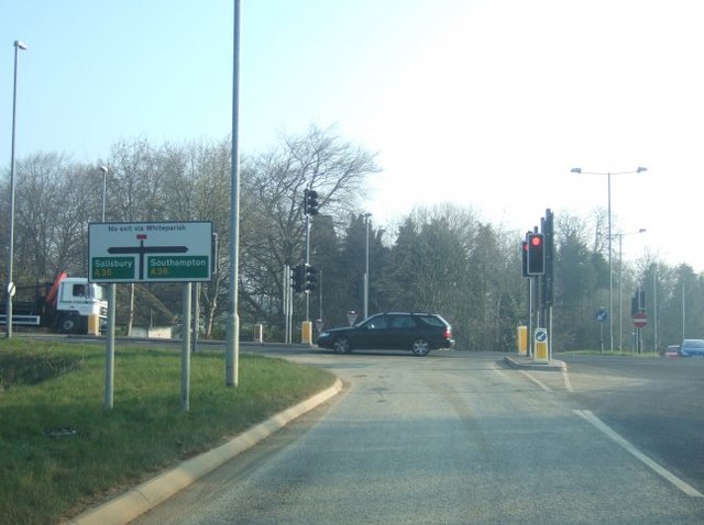
Galleries | A36 | A27 | Brickworth Corner | Traffic Signals | Advance Direction Sign | ||
File history
Click on a date/time to view the file as it appeared at that time.
| Date/Time | Thumbnail | Dimensions | User | Comment | |
|---|---|---|---|---|---|
| current | 07:57, 31 May 2016 | | 640 × 478 (52 KB) | C2r (talk | contribs) | '''The A36 Meets Brickworth Road''' |
File usage
The following 2 pages use this file: