File:The A458 road at Enville - Geograph - 2001812.jpg
Jump to navigation
Jump to search

No higher resolution available.
The_A458_road_at_Enville_-_Geograph_-_2001812.jpg (640 × 470 pixels, file size: 90 KB, MIME type: image/jpeg)
| |||||||||||||||||||||||||
|
Galleries | A458 | ||
File history
Click on a date/time to view the file as it appeared at that time.
| Date/Time | Thumbnail | Dimensions | User | Comment | |
|---|---|---|---|---|---|
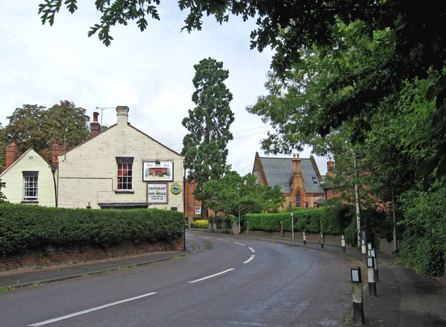
| current | 22:47, 19 August 2010 | | 640 × 470 (90 KB) | Steven (talk | contribs) | '''The A458 road at Enville'''<br/>The A458 Stourbridge to Bridgnorth road passes through the small village of Enville. The building on the left is The Cat Inn. <a href="http://www.geograph.org.uk/photo/2001807">SO8286 : The Cat Inn, Bridgnorth Road</a>. |
File usage
The following page uses this file: